Gairloch Archaeology
Attribution: unknown (Rifle target butts at Gairloch)
The site of the Dun or Castle of Gairloch
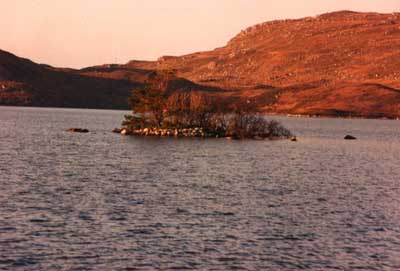
The Crannog in Loch Tollie
This small island is all that remains of what was formerly a stronghold of the MacBeaths, who also held the Dun at Gairloch and another small castle at Grudie in Loch Maree. It was, of course, built out in the loch for defensive purposes and approached by an underwater causeway.
Creag an Fhamhair, Ancient Fort
The 1st Edition 6-inch OS map has this as the name of the crag immediately above Droichid na Cathrach Bige, the bridge that carried the B8056 road over the Kerry River. The top of the crag is at NG82157290. The defensive walls can still be made out, but they are very low. The name, meaning “rock of the giant”, would be quite suitable as the name of a crag on which an ancient fort was built, as referring to the building as the work of a giant.
A local resident knows the name as “Creag an Fhomhair” and gives as the meaning “the giant’s rock”.


